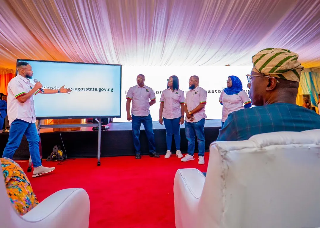
LAGOS UNVEILS ELECTRONIC GEOGRAPHIC INFORMATION SYSTEM (E-GIS) PLATFORM FOR ONLINE LAND TITLE APPLICATION AND VERIFICATION
The introduction of the electronic Geographic Information System (e-GIS) platform by the Lagos state government allows residents to submit, explore, and authenticate land titles online throughout the state prior to any purchase.
Governor Sanwo-Olu revealed this information on Friday through his verified X handle.
The Governor emphasized that the e-GIS platform has digitized accessibility to all matters related to land in the state. This launch signifies a transformative shift from the traditional manual/paper method of land title applications to a digital platform, enabling easy access to data concerning all lands in the state.
The new initiative eliminates the necessity for intermediaries and agents in the land title application process.
He stated, “The e-GIS portal is a comprehensive digital platform that modernizes and transforms the process of acquiring, documenting, and verifying land in Lagos. With the portal now operational, land title applications have moved from the age-old manual paperwork to a digital format, removing the need for intermediaries and the associated costs applicants previously faced.”
Governor Sanwo-Olu elaborated that the e-GIS system has compiled all data related to land in the state since the 19th century, including titles and transaction details.
He said, “Now, individuals can authenticate, search, and submit applications for land titles, including Governor’s Consent, from their homes with a simple click. This innovative system has systematically organized all archived land records dating back to the 19th century and integrated them with all land titles, storing historical transactional data for every parcel of land in the State’s cadastra.”
News Source: Techeconomy

